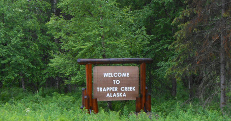
Welcome to Trapper Creek Community
Learn about the Trapper Creek community, businesses & services
Welcome to Our Community!
The Trapper Creek Community Services Association provides this information to show our pride and support for the local businesses, services, and activities.
The Trapper Creek Community Park and Cemetery is located at Mile Post 115.2 Parks Highway, 9971 East T.C. Park Circle, PO Box 13049 Trapper Creek, AK 99683 tccommunityservices@yahoo.com
Trapper Creek – What it’s like today
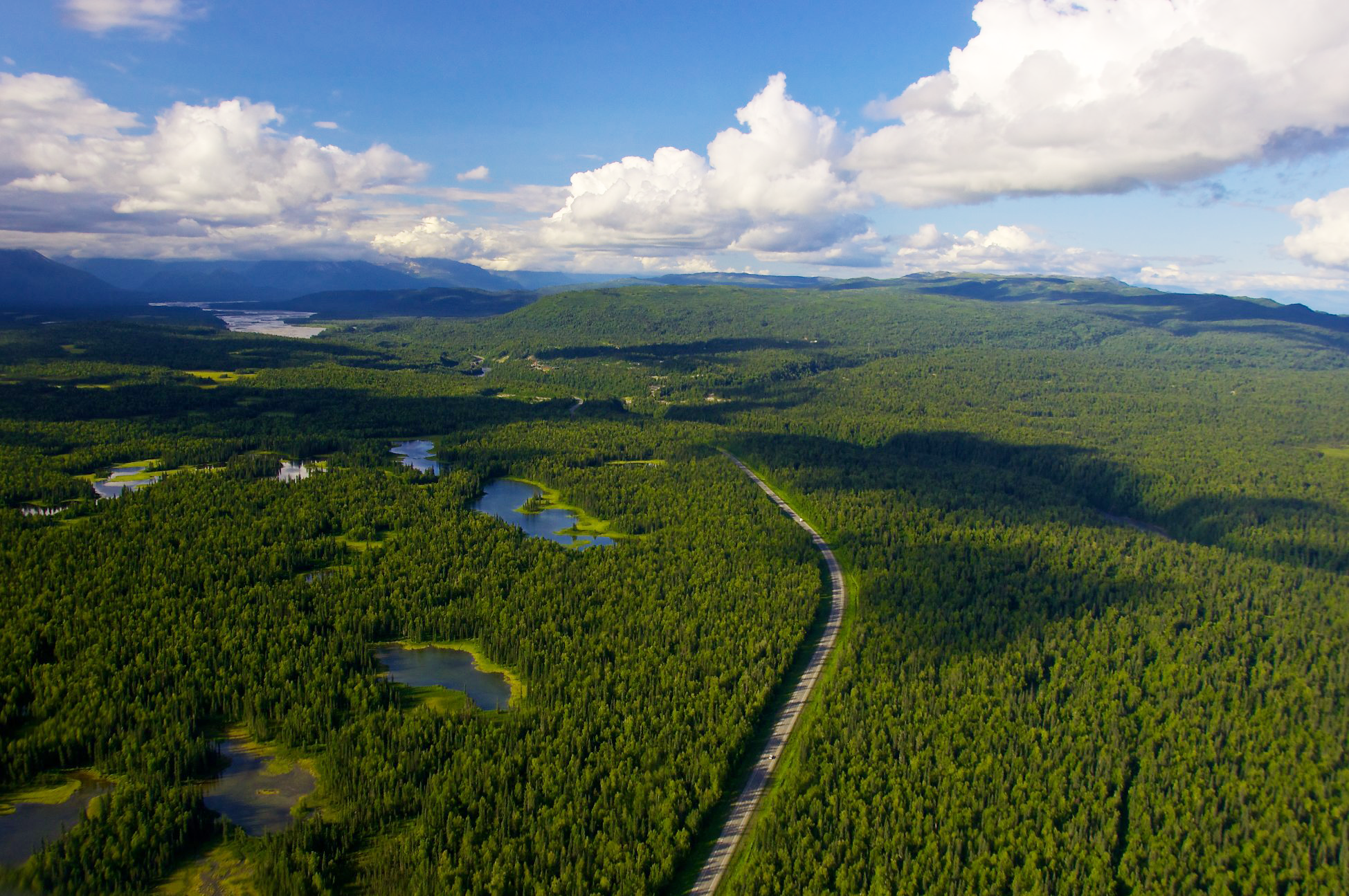
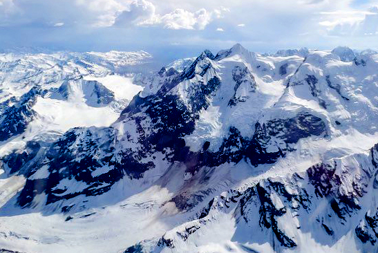
Trapper Creek has amazing vista-views of the Alaska Range and the formidable and always eye pleasing Denali, “The Great One” The scenic, recreational (snowmobiling, cross-country skiing, hunting, fishing, dog mushing, four-wheeling), and natural resources, coupled with good access to points north and south via the Parks Highway – approximately 250 miles to Fairbanks, 82 miles to Wasilla, 115 miles to Anchorage – are defining features of this community. Our community spreads out over this amazing region between the Susitna River on the east, Chulitna River on the north, Peters Creek on the west, and where the Parks Highway crosses the Susitna River to the south.
View Trapper Creek News & Events
Video By Garry Kinder – 2023
FISH AND WILDLIFE
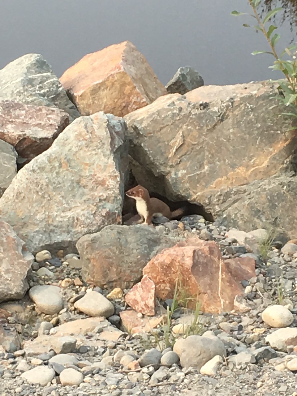
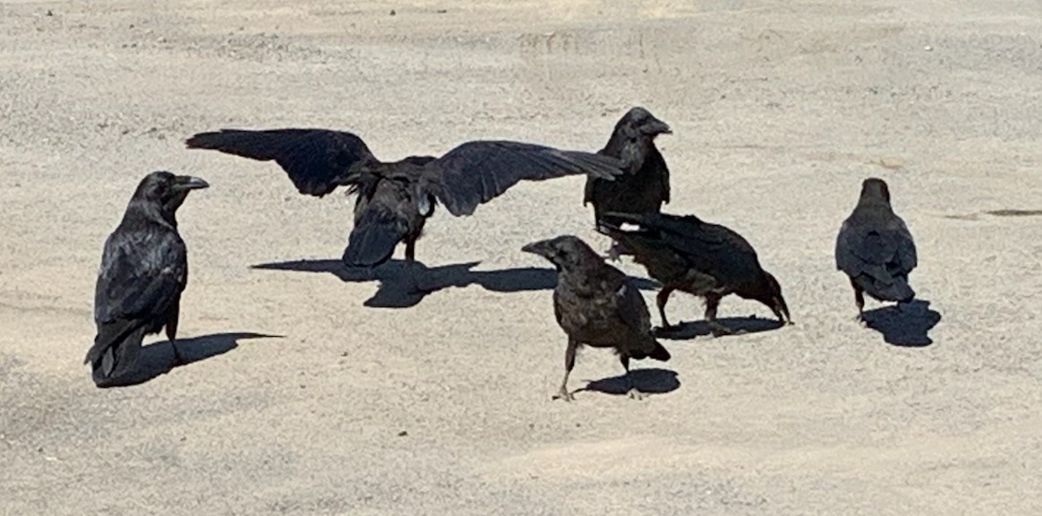
The area is home to a wide variety of wildlife and also provides migratory corridors for a number of species. Small mammals include lynx (listed a species of concern under the Endangered Species Act), fox, beaver, wolverine, land otter, mink, short tailed weasel and least weasel, marten, snowshoe hare, red and flying squirrels, porcupine, muskrat, marmot, pica, and coyote.
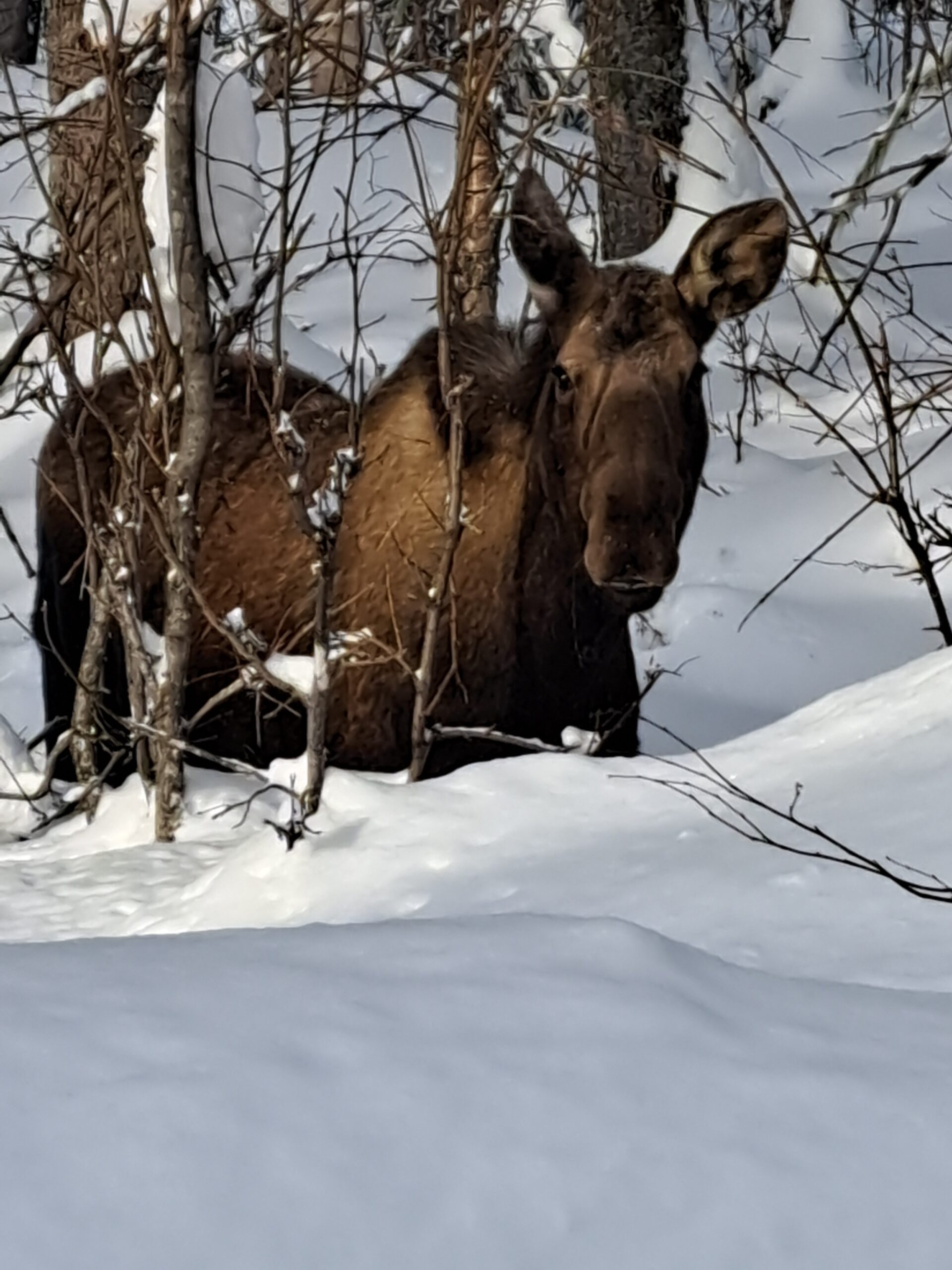
The streams that cross the community bring in runs of several salmon species. Fish species include five species of Pacific salmon and eight other important freshwater game fish. These include king, coho, sockeye, chum, and pink salmon, lake and rainbow trout, Dolly Varden, Arctic grayling, northern pike, whitefish, and burbot. Non-game fish species include blackfish, longnose sucker, slimy sculpin, and Arctic lampreys. These fish in turn attract numerous brown and black bears, who den in uplands to the north, and stagger down into the region in early summer. Other large mammals include caribou, moose, wolves and coyote. Black bear range in forested areas while brown bears show a preference for open areas. Caribou, moose and wolves use a range of habitats. The area’s streams, lakes and wetlands attract a wide range of migratory birdlife, including swans, loons, raptors, golden eagles, bald eagles (mostly in summer), sand hill cranes and three species of concern under the Endangered Species Act – the northern goshawk, olive-sided flycatcher, and the American peregrine falcon. Non-migratory birds are also abundant, including ravens, magpies, downy woodpeckers, chickadees, spruce grouse, brown creeper, gyrfalcon, pine grosbeak, redpoll, willow and rock ptarmigans, and several species of owls. Waterfowl are numerous including the migratory trumpeter swans, harlequin ducks, Canadian geese and tule greater white-fronted geese.
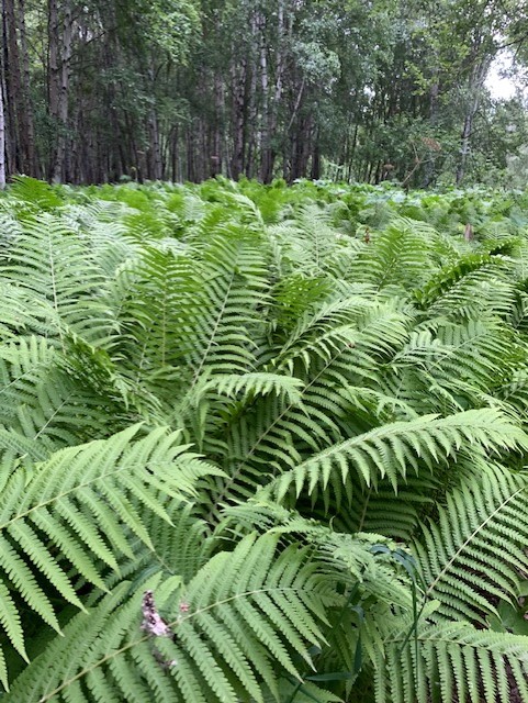
Photo by: Brittany Jo Ryan
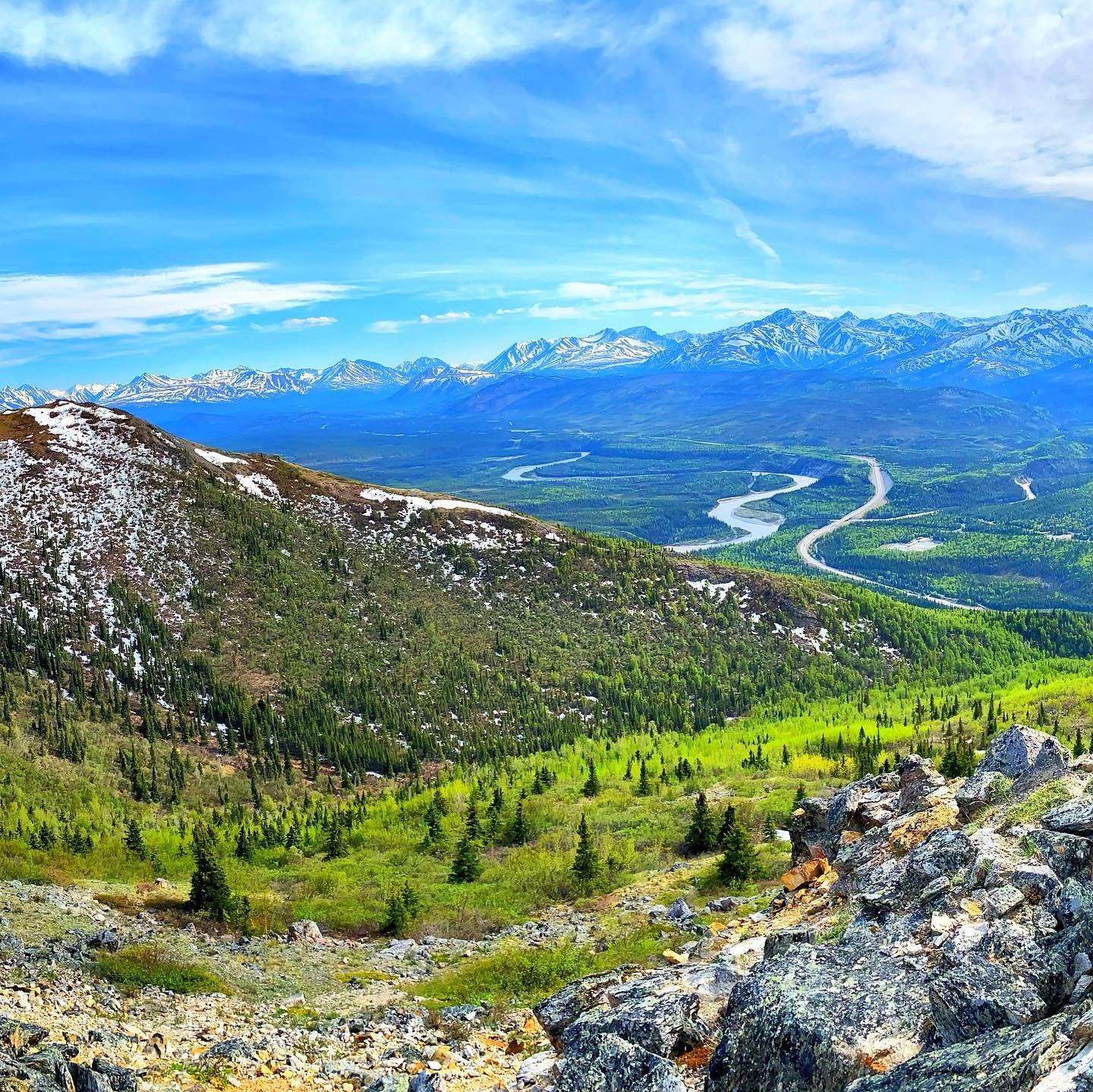
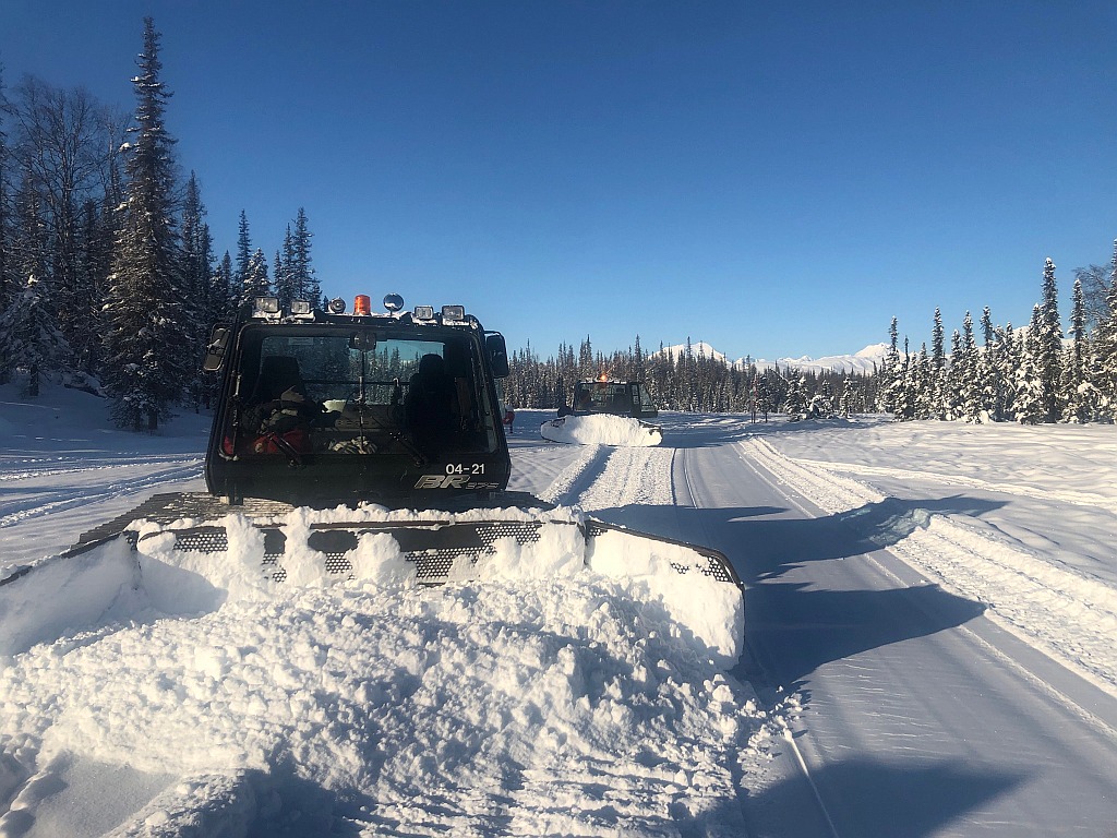
Photo: Curry Ridge Riders, a 501C3 organization, is managed by a volunteer group of hard-working folks that keep snow machine/ski trails groomed that lead out of Trapper Creek.

Photo by: Connie Dooley
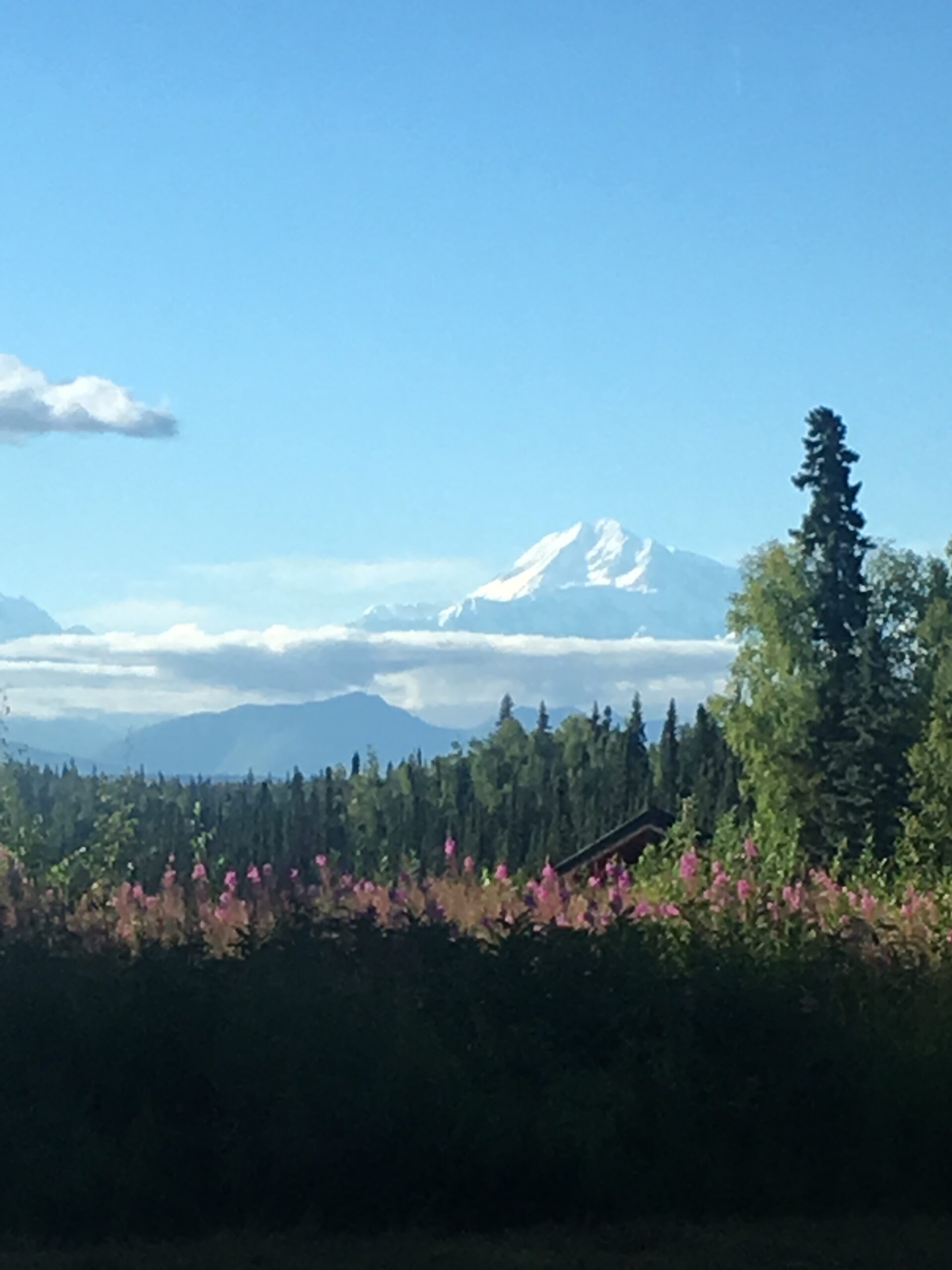
Photo by: Connie Dooley

Trapper Creek– Overview and Information
RESIDENT CHARACTERISTICS
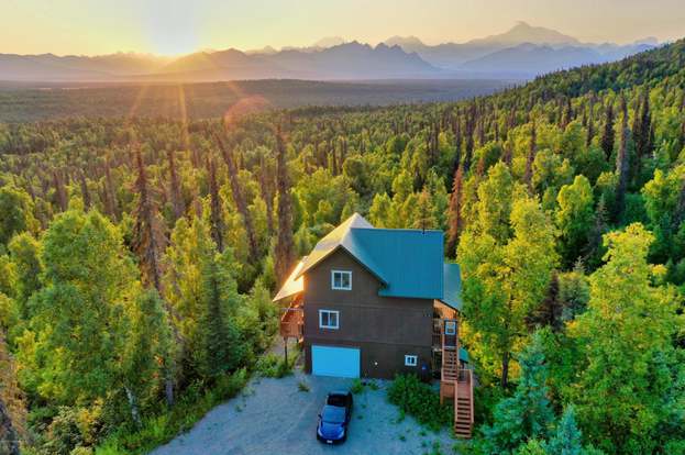
Most of the growth in population in the area is tied to an increase in retired people moving into the area. Trapper Creek is also a popular location for backcountry cabins and second-homes. The elementary school is attended by approximately 20 to 30 students. Middle and high school students attend Susitna Valley High School at the Y Community, 17 miles away. According to the US Census 2000, approximately one quarter of Trapper Creek’s residents, and one third of its families were listed as falling below the poverty level. Trapper Creek’s median household income was at $27,031, significantly lower than the state’s $51,571 median. Trapper Creek is farther from major employment and population centers than other MSB communities, resulting in a limited income base. Residents’ incomes are stretched further because of the distance (and price of fuel) residents have to travel to obtain goods and services not available locally. Trapper Creek incomes may, on average, be lower than state averages, but residents have the advantage of direct access to world-class scenery, recreation and subsistence resources. They enjoy a sense of freedom and remoteness that more affluent communities cannot buy. Many Trapper Creek residents have large gardens, subsistence fish and hunt, and have wilderness out their backdoors. Trapper Creek, like most Alaskan rural communities, has limited government services. This combination of local features makes it apparent why residents stay, despite limited cash based economic opportunities and the higher costs of living. It appears that Trapper Creek self selects residents who love the area, who want to be off the beaten path, and who are resourceful enough to try and make a go of generating an income in an area with limited employers.
“People typically need cottage industry, subsistence, and seasonal work to get by. You need to be willing to do a bit of everything.” At a median age well above the state average (44.1 median age in Trapper Creek compared to statewide median of 32 years), most Trapper Creek’s residents are not “Cheechakos,” or tenderfooted newcomers as that term is defined. Rather, the community consists of well seasoned Alaskans with a broad range of practical skills they need to make a go of living in the area. As one resident said, “people typically need cottage industry, subsistence, and seasonal work to get by. You need to be willing to do a bit of everything.” According to one resident, Trapper Creek is a major center for cottage industry – “Trapper Creek is crawling with it, but it’s typically not enough to make a living.*
NATURAL AND PHYSICAL ENVIRONMENT
The Trapper Creek Area is located at the northern end of the Matanuska- Susitna Borough, at the base of the tallest mountains in North America, the Alaska Range. The land rises slowly from the south, starting with the open, mostly forested Susitna River drainage, to central highlands that form the upper reaches of Moose Creek, Kroto Creek and other smaller creeks and streams, and then fall again gently to the north, draining into the Chulitna River. Elevations range from approximately 400 feet at the lowest point in the south, to Bunco Bump at 1100 feet in the north. Overall, the Trapper Creek area is fairly flat.
TOPOGRAPHY AND CLIMATE
Just north of the Trapper Creek area rise the foothills of the Alaska Range. From east to west, these include the Peters Hills, the sharp peaks of the Tokosha’s just across the Tokositna River, then the rolling hills of Denali State Park, and in the northeast, the southern extension of Curry Ridge. Travel overland in the summer on foot in the area is difficult due to the large wetland areas and numerous small streams. Likewise, road and trail construction is difficult and costly. At the same time, the same features that are such barriers to summer travel become vast highways for rapid travel by snow machine, dog sled and skis in winter, often with breathtaking views of the Alaska Range. Located in a climatic transition zone, Trapper Creek is between the maritime zone of Cook Inlet and the continental climate to the north. The area is far enough inland to get summer temperatures that can be 5-10 degrees warmer than what is common closer to Cook Inlet. At the same time, the area’s more northern location and slightly higher elevation means colder, longer winters. Situated on the south side of the Alaska Range with Mt. McKinley, North America’s highest peak at 20,320 feet, Trapper Creek captures twice the rain and snow than areas north of the mountain range.
PUBLIC FACILITIES
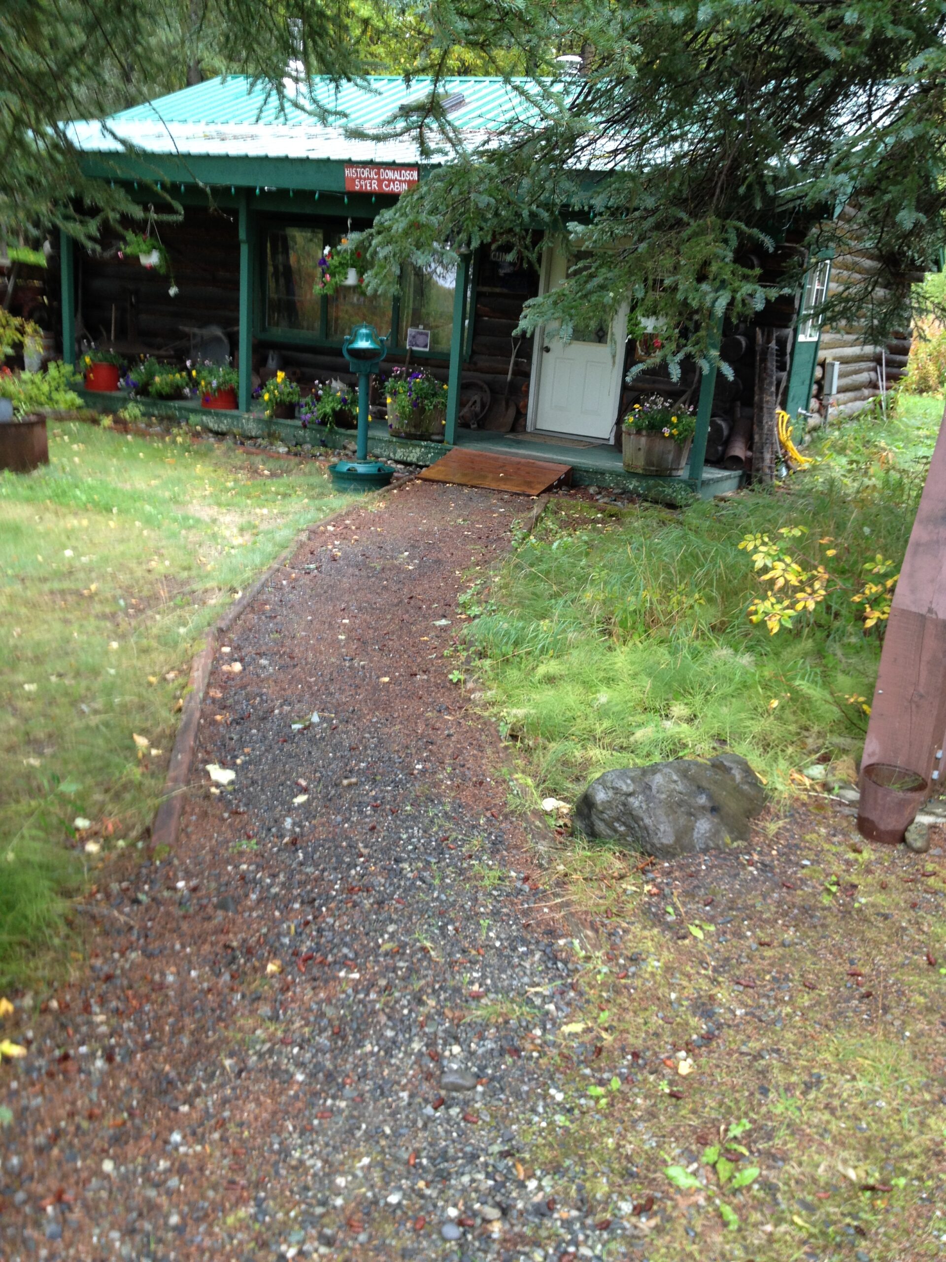
Local hospitals or health clinics include Mat-Su Regional Hospital in Palmer or Sunshine Community Health Center in the Sunshine area. Trapper Creek is classified as a highway village. It is found in EMS Region 2C in the Mat-Su Region. Emergency services have highway and air access. Emergency service is provided by 911 telephone service and volunteers. Auxiliary health care is provided by Trapper Creek Ambulance Service, Regional Hospital in Palmer, Wasilla or Anchorage hospitals. Talkeetna Ambulance Service will also serve the area when in need. Trapper Creek’s infrastructure includes the Trapper Creek Watering Point, elementary school, EMS system and ambulance bay, community center, cemetery, park, library and museum. Community members participate in the Volunteer Fire Department and the Community Emergency Response Team (CERT) There is also a local postal office and two gas stations both with convenience stores.
HYDROLOGY
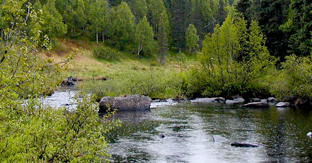
Three major rivers run through the Trapper Creek area – the Chulitna, Kahiltna and Susitna rivers. Drainage in the area extends down from the Alaska Range via snowfall, rain and glacier melt, across the rolling tundra-covered hills through the lowlands below and toward Cook Inlet. There are numerous lakes, streams, and wetlands in the area. The public value of two local drainage corridors for recreation and subsistence. Kroto and Moose creeks feed into the Deshka River, and provide significant habitat areas for the small fry.
Vegetation in the area includes bands of willow, alder, spruce, birch, aspen and cottonwood, separated by bands of wetlands. At higher elevations in the north, alders are more common. Wetland sites are primarily muskeg (peat bog) which provides a home for an abundance of plants that thrive in the wet, acid soil; sphagnum moss is the mainstay.
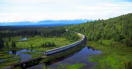
Trapper Creek is accessible from the Parks Highway about 17 miles north of the Talkeetna Spur Road. The Parks Highway provides access to Alaska’s major transportation and population centers and serves local and through traffic between the coastal and interior areas of Alaska. It serves the everyday mobility needs of people who live in the communities located along the length of the highway. There are no alternate routes and few access roads join the highway. It also serves the scenic and recreational demands of Alaskan residents and tourists. Starting at milepost 114.9 of the Parks Highway, Petersville Road connects the Trapper Creek and Petersville communities. It leads northwest 40 miles. The Petersville Road area is becoming a popular snow machine destination because of the abundant snow, suitable terrain, and public access to the backcountry.